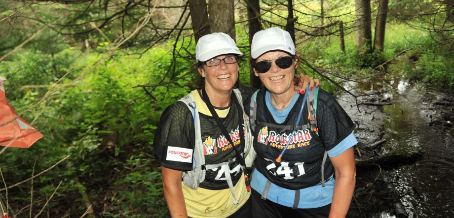
Saturday Glenis and I attended an Adventure Race Training Course hosted by Bob Miller near Hilton Falls Conservation area. Apparently this is one of the most difficult areas in Ontario to orienteer in. We found that out during Raid the Rib which was held in this area. Bob is a seasoned adventure racer and race director. His race the Wilderness Traverse is the only 24 hour adventure race in Ontario.

The morning was a class session on map reading and using a compass with a map. The light bulb went on when we realized the disconnect we have been having between the map and the compass. It was great seeing the light. Bob also answered many questions about adventure racing in general. It was great just to pick his brain about adventure racing.
About noon we headed out to the bush, just as the first few drops of rain started to fall. By the time we have driven the 2K to the trail head the rain was pouring down in buckets! Sheets of it, accompanied with the distance rumble of thunder. Fearless, all seventeen of us charged into the woods to bushwhack to the first of the 6 controls Bob had hidden in the woods. Tripping over fallen trees and the hidden boulders that the escarpment is known for, we charged towards where we thought the first control was. Holy cow, we found it, by just using our compass, right were we thought it would be! We were elated. We adjusted our heading and off we went to find the second control, and what do you know, there it was!


It was a sweet jog up the trail, which was a small stream now because of the rain, to find control #3. We were one of the first to reach it, except it wasn’t there. We hunted around and were soon joined by others but no one could find it. The feeling of elation was slipping away. Not to be deterred we headed up the trail to find the next control. Slipping in the mud and over rocks we found it no problem, but it was right beside the trail. The next control would be more challenging because we had to determine where to plunge into the bush from the trail so that we would be in the general proximity of the control. Glenis took the bearing from my point of the trail and down in to the forest we headed. I was off the mark by about 50 meters but Glenis was spot on and we had the last control under our belt. We bushwhacked back to the trail and ran down stream to the trail head.
The next plan for the way was to hop on our bikes and look for controls on the bike route Bob had planned. By now we were sopping wet and our glasses so fogged up we could barely see the map. Off we went bouncing off of rocks and roots, hanging on for dear life in the pouring rail. It was quite the wild ride. We just noted where the controls were on the map and looked in that direction as we passed. We were just happy to ride and not crash!
Unfortunately the canoes portion of the day was canceled. The lightening put an end to that. We stripped out of our soaked clothes in the van and decided to call it a day.
What a great course, Bob was an excellent instructor, and the area he picked couldn’t have been better to navigate in. The joke was on us because someone had actually removed control number 3!
I think we are going to have a great time this year now that we have figured out the whole compass map thing.

You two never cease to amaze me!